This sectorization is most often based on postal codes, a simple and quick solution to implement. However, this division doesn’t always take local constraints into account:
An isolated industrial area can disrupt a route.
A natural barrier (river, railway) can complicate travel.
Delivery density can vary significantly from one neighborhood to another.
As a result, some sectors are overloaded while others are underused.
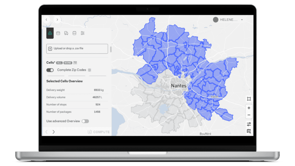
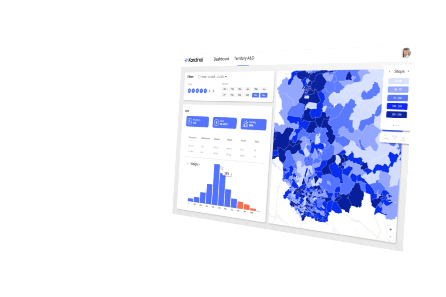
This is where Kardinal’s TAO (Territory Analytics & Optimization) solution comes in. Developed specifically for parcel delivery, TAO allows for a more refined, balanced, and realistic rethinking of sectorization, using the historical data from each delivery center.
This method creates robust sectors without requiring major changes to the existing organization.